Application Description
OsmAnd: Your Offline Navigation Solution for Hiking and Beyond
OsmAnd, a free and open-source offline map application powered by OpenStreetMap (OSM), revolutionizes navigation, especially for hikers. Download maps, add notes, and explore without relying on internet connectivity. Plan routes considering terrain inclines and record your GPX tracks for later review. Your privacy is protected – OsmAnd doesn't collect user data.
Key Features:
Map View:
- Customizable map overlays displaying points of interest (POIs) such as attractions, restaurants, and medical facilities.
- Robust search functionality using address, name, coordinates, or category.
- Diverse map styles optimized for various activities: touring, nautical, winter/ski, topographic, desert, off-road, and more.
- Enhanced visual representation with shaded relief and optional contour lines.
GPS Navigation:
- Offline route planning to any destination.
- Customizable navigation profiles for diverse vehicles: cars, motorcycles, bicycles, 4x4s, pedestrians, boats, public transport, and others.
- Route modification options, allowing you to avoid specific roads or surfaces.
- Informative route widgets displaying distance, speed, remaining time, and distance to the next turn.
Route Planning & Recording:
- Point-to-point route creation using single or multiple navigation profiles.
- GPX track recording and management, including display, navigation, and sharing on OpenStreetMap.
- Detailed route data visualization including ascents, descents, and distances.
Point Creation:
- Create and manage custom points of interest: favorites, markers, and audio/video notes.
OpenStreetMap Integration:
- Contribute to OpenStreetMap by making edits.
- Frequent map updates, up to hourly.
Additional Features:
- Built-in compass and radius ruler.
- Mapillary integration.
- Night mode.
- Offline Wikipedia access (with Maps+ subscription).
- Strong community support and extensive documentation.
Premium Features (Maps+ & OsmAnd Pro Subscriptions):
Maps+:
- Android Auto support.
- Unlimited map downloads.
- Topographic data (contour lines and terrain).
- Nautical depths.
- Offline Wikipedia.
- Offline Wikivoyage travel guides.
OsmAnd Pro:
- OsmAnd Cloud (backup and restore).
- Cross-platform compatibility.
- Hourly map updates.
- Weather plugin.
- Elevation widget.
- Customizable route line.
- External sensor support (ANT+, Bluetooth).
- Online elevation profile.
OsmAnd empowers you to explore confidently, whether you're hiking remote trails or navigating city streets. Its offline capabilities and customizable features make it an indispensable tool for adventurers and travelers alike.
Reviews
Post Comments
Latest Articles
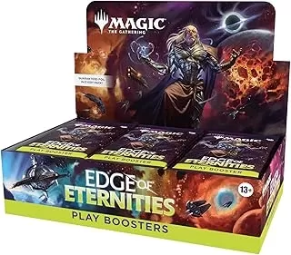
MTG's Edge of Eternities Sold Out at Amazon on Launch
Magic: The Gathering enthusiasts have been counting down to their journey through the Blind Eternities, and the moment has finally arrived. Edge of Eternities officially launched worldwide today, bringing cosmic-scale fantasy to the classic trading c
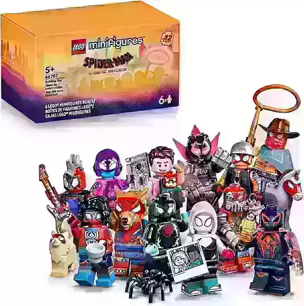
LEGO Spider-Verse Minifigures Available for Preorder
LEGO is launching an exciting array of new sets this season, but if you're only looking to expand your minifigure collection, the company has a pleasant surprise in store next month. Starting September 1, LEGO will release a blind box of Spider-Man:

Spin Rhythm XD Is Coming to Mobile Soon on the Crunchyroll Game Vault
You may know developer Super Spin Digital for titles like Fruit Ninja, Jetpack Joyride, and Steppy Pants. Another one of their popular releases is the rhythm game Spin Rhythm, whose success paved the way for its sequel, Spin Rhythm XD, which launched

Elden Ring Glitch Eases Item Sharing in Nightreign
Elden Ring Nightreign features some incredible gear drops. There may even be times when you wish to share this equipment with others, while still keeping it for yourself. Fortunately, a gear duplication glitch makes sharing this loot possible, at lea
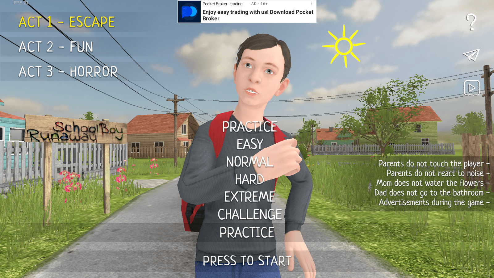
Master Stealth Tactics in SCHOOLBOY RUNAWAY
SCHOOLBOY RUNAWAY – STEALTH delivers thrilling stealth gameplay where you play as a mischievous student who'd rather sneak out than hit the books. Carefully evade your watchful parents using clever tactics and everyday household items to execute your
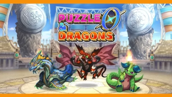
Puzzle & Dragons 0 Launches on Android with Innovative Root Tree System
Puzzle & Dragons 0 is now available, offering a fresh take on matching orbs and defeating monsters. Developed by GungHo Entertainment, the team behind the original mobile hit, this new entry reimagines the beloved puzzle-RPG experience.
What’s New in
Apps like OsmAnd — Maps & GPS Offline

Pass2Park it Guest
Travel & Local丨59.50M


StaffTraveler
Travel & Local丨26.30M

Tivoli Gardens
Travel & Local丨57.90M


Trivio
Travel & Local丨11.10M

Scandic Hotels
Travel & Local丨68.20M
Latest Apps

에스크 asked
Communication丨18.30M


Spiga+ AI
Auto & Vehicles丨12.0 MB


Epoxy Resin Art Ideas
Art & Design丨41.0 MB

Lola Casademunt
Shopping丨6.8 MB

Anime Chicken
Tools丨38.90M

WashAssist Dashboard
Lifestyle丨11.70M

Trending Apps
MORE +


Top News
MORE +


01
01-06
CDPR acknowledged weak gameplay in The Witcher 3
The Witcher 3, while critically acclaimed, wasn't without its flaws. Many fans felt the combat system fell short.
In a recent interview, Witcher 4's game director, Sebastian Kalemba, acknowledged weaknesses in the previous game's gameplay, specifically highlighting the need for significant improvem
02
01-07
BREAKING: Flight Simulator 2024 Login Woes Ground Players
Flight Simulator 2024 Launch Plagued by Technical Difficulties
The highly anticipated launch of Flight Simulator 2024 has been significantly hampered by widespread technical problems, leaving many players grounded before they could even take to the virtual skies. This article details the reported d
03
11-17
Hogwarts Legacy 2 is "One of the Biggest Priorities" for WB Games
Following the successful launch of Quidditch Champions this week, Warner Bros. Discovery has confirmed its plans for a sequel to last year's Harry Potter-based action RPG hit Hogwarts Legacy—2023's best-selling game.Hogwarts Legacy Sequel Plans Confirmed by Warner Bros. DiscoveryExpected in
04
11-16
Airplane Chefs Brings The Ultimate Snack, Pringles, On Board!
Buckle up for some snacks as Nordcurrent has just dropped an exciting event for their cooking game. It’s the most unexpected collab of Airplane Chefs and Pringles. If you’ve been enjoying your virtual life as a flight attendant, things are about to get a lot tastier.The game developer behind p
05
11-16
Play Together to collaborate with Sanrio and introduce new My Melody and Kuromi content
Play Together is bringing back its Sanrio collab with the appearance of My Melody and KuromiYou can collect coins by completing their themed missions that can then be used to draw exclusive itemsAs a bonus there's also new summer-themed content and events, including a major bug huntPlay Together, th
Topics
More +